
Length: 7.4 Miles Round Trip
Difficulty: Easy to Medium
Driving Instructions
From Alamosa, drive south on 285 to Antonito, and continue west on Highway 17 toward Chama and Cumbres and La Manga Passes. At the 23 mile mark, the highway goes over the Conejos River and starts the ascent toward La Manga Pass. Take the first right after the bridge. Follow the road and when it forks, stay to the left. A drive of 1.3 miles will put you at the trailhead. The trail is open from May to November. It is okay too for winter travel via snowshoes or skis.
Trailhead Parking
There is plenty of open parking and the lot is free. There is also parking available anywhere on road to lot. Pets are allowed.
Elevations
9,120 to 10,600 feet.
Description
The first part of trail is a bit steeper in darker pine forests, before getting up into large expanses of aspens. The trail crosses numerous meadows providing good views of cliffs in San Juans exposing their volcanic history. No real steep sections as the 1,500 feet of elevation gain is spread out over 3.7 miles. However, there are a few short steep sections.
Water/Bathrooms
Bring your own water. Water along trail with proper filter or treatments. Bathrooms are available at Elk Creek Campground when open near trailhead.
Terrain
This is mostly a dirt trail that will be occasionally muddy in the spring during snowmelt or during summer thunderstorms.
Pleasures and Perils
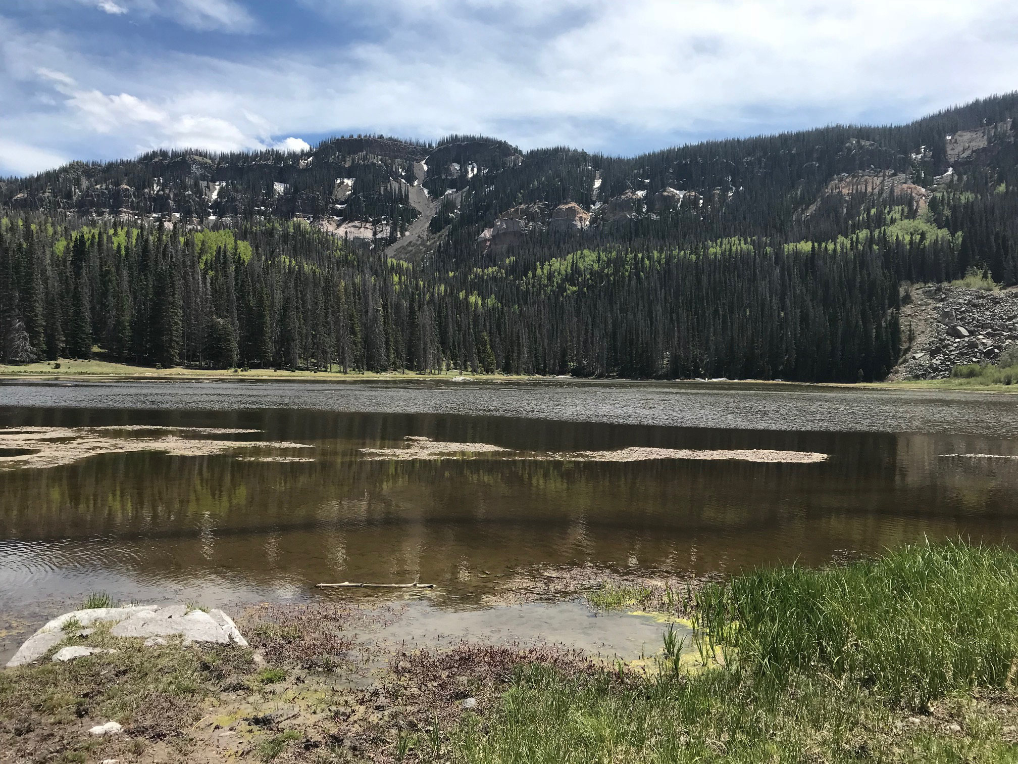
All trails in this area are unique. The South San Juans below La Manga Pass have steep cliffs, but overall are rounded mountains that are easy to hike and enjoy. Duck Lake offers fishing and solitude. This was a glaciated valley, so glacial erratics are common (such as large boulders scattered along trail for climbing and examination). The Conejos River Valley is absolutely beautiful in the fall when the aspens are changing. Storms can come up quickly over the mountains from the west, as they cannot always be seen building up from the creek valley.
Significance
This is the southern end of the San Juan Mountains before the New Mexico Border. In big snow years this area can be very wet. It can be one of the greener spots on the edge of the San Luis Valley. There is little development and this area has remained pristine.
Notes
The resilient aspen trees along the trail have numerous carvings on them leaving nasty black scars. These are similar to petroglyphs left by natives, but simply view who has passed by in the last 20 - 50 years. Please take your memories of this trail with you in digital pictures.


