
Length: 4 Miles Round Trip
Difficulty: Moderate to Difficult
Driving Instructions
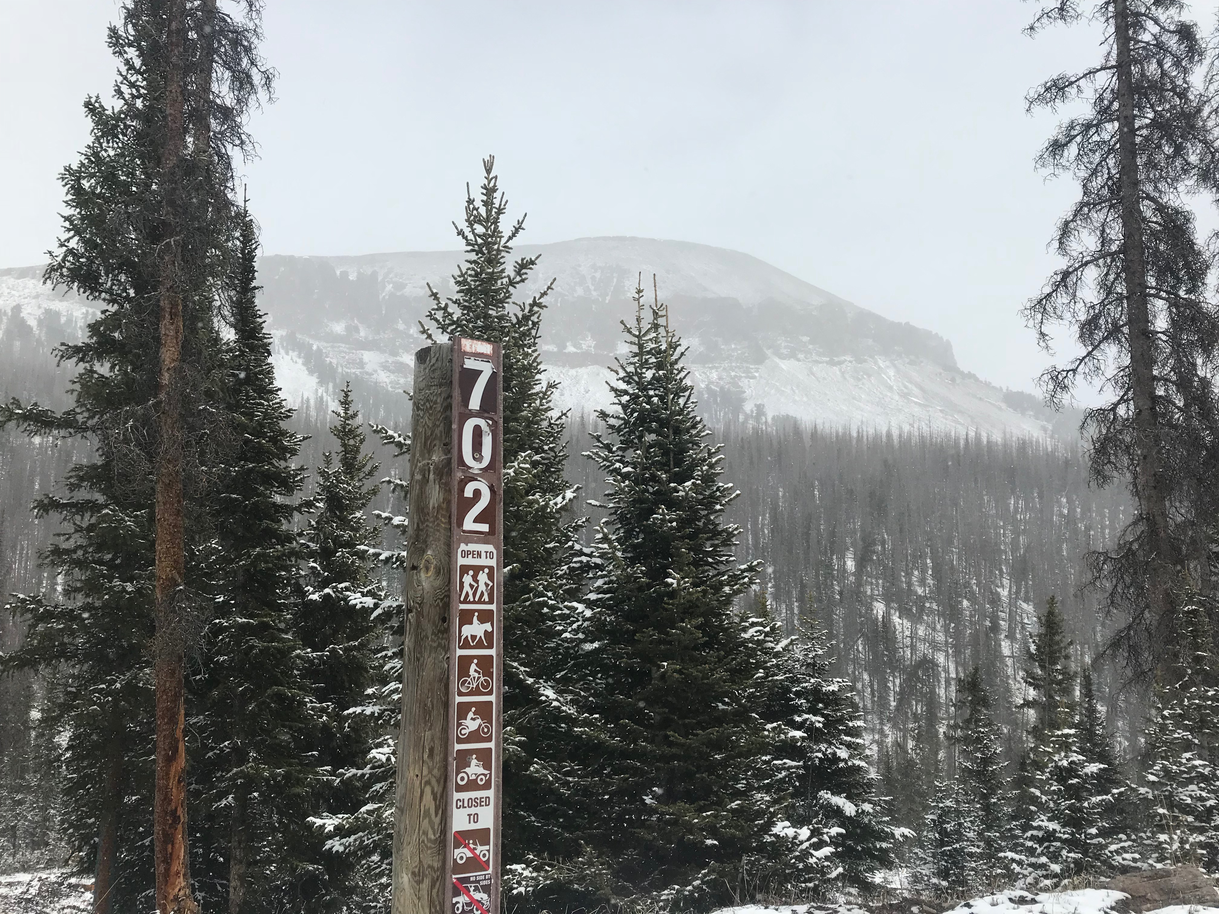
From Alamosa, take highway(s) 160/285 west to Monte Vista where 160 continues west and 285 turns north (Dairy Queen corner). Take a left (South) at this junction on Colorado 15. Drive 2.4 miles south and take a right on Rock Creek Campground Road. From there, it will be pavement for several miles past nice ranches as the road heads up the visible gap in mountains which is Rock Creek. Road turns to good gravel road but occasionally dusty. The road will be 21.6 miles to dead end from CO 15 at trailhead 3,200 feet higher. Tis quite a climb all the way while passing Rock Creek Campground and Picnic Area and Comstock Campground. In normal snow years, trail should be open from June through October. Road is closed in winter.
Trailhead Parking
Big wide spot at end of road is easy turnaround, even with big vehicle and trailer. There is free parking and pets are allowed.
Elecvation
Parking lot elevation is at 11,130 feet to 11,979 feet at the crest of pass.
Description
The trail drops 85 feet quickly to Rock Creek, through where trees are being cleared. You can view the amazing rocky face of Windy Mountain across the valley. It is a big hunk of mountain! Cross the creek and turn west up rocky trail into valley with a lot of dead beetle kill pine. Within 1.6 miles, the tree line is reached as the trail turns toward south. The trail becomes a track road of sorts on open tundra with Sheep Mountain and it’s snow cornice a short distance to the West. Trails intersect and go many directions.
Terrain
This is a rocky trail with rugged mountain views and a recovering forest. Going above the tree line is a unique experience. Looking back into forested valleys and climbing the nearby peaks will provide expansive views East into San Luis Valley.
Water/Bathroom
Bring your own water or proper filter for treatment. Bathrooms are located at campgrounds and picnic grounds 7 miles below trailhead.
Pleasures and Perils
Hiking above tree line is a great experience to look across the tops of distant peaks, and provide perspective of mountain ranges from a bird’s eye view. High altitude tundra is a different experience than in the valleys or forests below. Trail is rocky, especially in the first mile. The high altitude above tree line will tax your lungs and heart. Weather is generally always cool. Bring extra layers. Rare is the day that it is not breezy. Thunderstorms and cold rains can bring lightning hazards and hypothermia hazards. If sunny, the high altitude rays in the cool air can cause sunburn, so wear sunscreen!
Significance
This trail is not far in air miles from the Summitville superfund mining site. This valley has remained pristine except for beetle kill. Watching Mother Nature restore the forest is subtle and slow, but it is happening. This part of the San Juans sees less traffic than other mountain ranges in Colorado.
Notes
Tundra is a fragile alpine environment. Stay on trails as much as possible. There are a few ‘Closed Area’ signs for restoration. Please honor those signs.


