
Length: 11.8 Miles Round Trip
Difficulty: Moderate to Difficult
Driving Instructions
From Alamosa, drive US 160 West to Del Norte. Continue on 160 toward South Fork 8.75 miles until you see the brown Forest Service sign for Embargo Creek Road and take a right. This is County Road (CR) 18. Drive across the Rio Grande and when the road Ts, take a right on CR 15 for about 1/3 of a mile. Take a left turn going northwest on CR 65 which is FS Road 650 for 3 miles. At the Y junction take CR 55 (which is also FS Road 640) left and continue for 7.6 miles until Cathedral Campground. Parking here is easier as the road for the next mile is a fairly rough road for passenger cars. There are several wide spots in the road to park. Free Parking. Pets okay. Open May to November snowpack permitting.
Trailhead Parking
Cathedral Campground is not heavily used. Parking slightly off the campground road is fine. Put a note that you are day hiking and not camping. The road past Cathedral begins to get rough, although there are a few wide pullouts for parking. 4 wheel aficionados can continue toward dual trailheads.
Elevations
9,478 feet at Cathedral Campground to Fremont’s Camp at 11,117 feet on trail 885.
Description
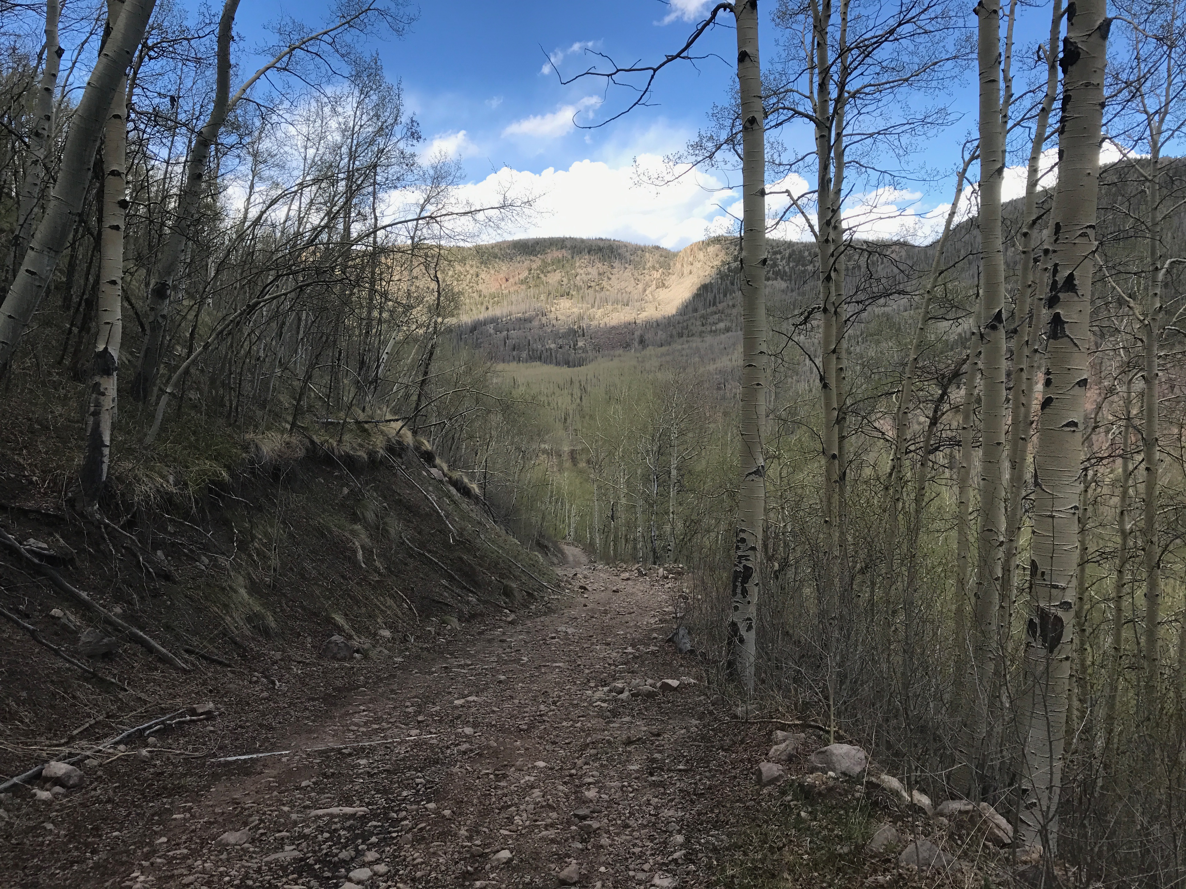
Trail #885 goes 3.5 miles up a fairly steep road through scenic aspen and pines. There are good views into the San Luis Valley after 2 miles. There is a sizable hunting camp/ lodge building in a clearing. The trail goes through the camp. A sign points to Fremont’s camp, though the actual spot from 1849 is hard to find. Artifacts of the expedition can be seen in Del Norte museum.
Terrain
The trail goes through deep forest of pines and aspens intermingled. Steep rocky cliffs can be seen on either trail.
Water/Bathrooms
Forest Service indicates water available at Cathedral Campground from Memorial Day through Labor Day. However, its a good idea to have your own water or have a filter for creek water. Bathrooms are at Cathedral Campground.
Pleasures and Perils
This area is remote and mostly unknown. Read about the history of Fremont’s winter expedition of 1848-49 for background information and as you are on these trails think about what it would have been like in 6-8 feet of snow and having to eat frozen mules and eventually shoe leather to survive. This trail is great for those who appreciate historical references. Thunderstorms are frequent in San Juan summers. Dead beetle kill pines along trail or dead aspen (snags) can fall without warning especially on windy days.
Significance
As mentioned, this was Fremont’s bad judgement attempt to find a railroad route on the 38th parallel from St. Louis to San Francisco. He was warned by many a mountain man and Indian guide not to attempt the San Juans in winter. Fortunately, his group was rescued and the men on the expedition used the frozen Rio Grande as their highway back to safety in Taos, New Mexico.
Notes
Some guidebooks make mention of stumps from trees that Fremont’s men cut down for fires are still there and some apparently were there in the 1980s but it is unclear if evidence still remains today. You can go to Del Norte history museum to see clothing, mule harnesses, old bones, and other expeditionary ‘things’ for a view into western history.


